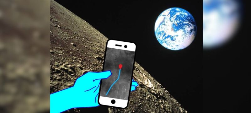
Spanish tech company GMV has introduced a new lunar navigation system, similar to GPS, designed to make moving around the moon as easy as navigating with apps like Google Maps or Waze.
Named LUPIN, the system is part of a European Space Agency initiative to develop advanced positioning, navigation, and timing technologies in response to the growing interest in lunar exploration—ranging from scientific research to mining and future tourism.
Read more: China Opens Moon Sample Access to US Scientists Amid Trade Tensions
Project director Steven Kay told Reuters that this innovation brings Europe a step closer to a sustained human presence on the moon and could even lay the groundwork for future missions to Mars. GMV tested the system in the rugged terrains of Fuerteventura, one of Spain’s Canary Islands, which mimics lunar landscapes.
LUPIN uses signals from satellites orbiting the moon to give real-time location data to astronauts and rovers. Currently, lunar navigation relies on time-consuming and imprecise calculations from Earth, often affected by communication delays and shadow zones due to the lack of direct visibility.
GMV aims to enhance lunar travel by combining existing moon maps with real-time satellite data, especially targeting challenging areas like the lunar south pole and the far side of the moon. According to GMV’s head of strategy, Mariella Graziano, this technology could enable rovers to safely and quickly explore the lunar surface, helping pave the way for astronauts to return and eventually build permanent bases.