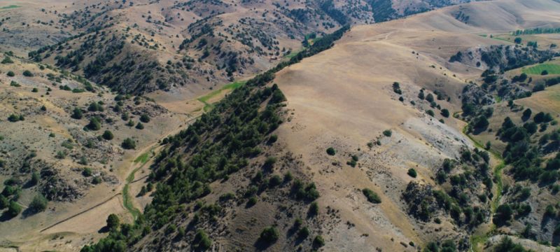
Archaeologists have made a groundbreaking discovery of two medieval cities in Uzbekistan’s southeastern mountains, situated along the ancient Silk Road trade route. Utilizing drone-based lidar technology, the researchers uncovered new insights into high-altitude urban life in Central Asia, as reported by National Geographic.
The research team, led by National Geographic Explorer Michael Frachetti and Farhod Maksudov, director of Uzbekistan’s National Center of Archaeology, identified the cities of Tugunbulak and Tashbulak at altitudes reaching 7,200 feet. Tugunbulak, the larger of the two, spans nearly 300 acres, making it one of the largest known settlements from this period in the region, according to a study published in Nature.
Also Read: Russian Spy Whale Found Dead in Norway, Mystery Deepens
“Lidar showed us that there’s a massive city there, hiding in plain sight,” remarked Frachetti, an associate professor of anthropology at Washington University in St. Louis. The high-resolution lidar images reveal extensive city walls, fortifications, watchtowers, and a central fortress constructed with thick stone and mud-brick walls.
Located about three miles away, the smaller city of Tashbulak features multiple permanent structures and a complex layout that adapts to the steep mountain terrain. The application of lidar technology, which uses light reflection to generate detailed 3D maps, has enabled archaeologists to document these sites, previously thought to be too remote for significant ancient urban centers.
The two cities thrived between the 6th and 11th centuries, with Tugunbulak’s strategic location suggesting it may have served as a vital production hub for iron tools and weapons, harnessed by the region’s strong winds. This discovery is reshaping our understanding of medieval life along the Silk Road, demonstrating that ancient highland societies not only thrived in challenging climates but also developed sophisticated urban designs and trade routes that connected East and West.


