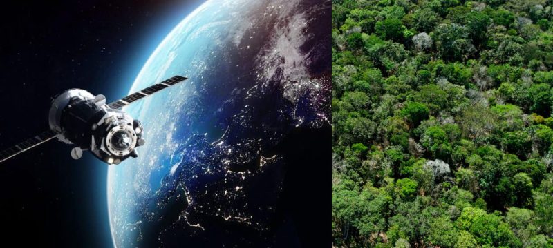
In a pioneering step towards forest protection and tackling illegal activities, Punjab has become the first province in Pakistan to introduce continuous satellite-based thermal imaging surveillance. The initiative, directed by Punjab Chief Minister Maryam Nawaz Sharif, aims to enhance monitoring efforts around the clock.
Initially implemented in the forests of Murree and Rawalpindi, the thermal imaging system allows for nighttime surveillance, helping detect forest fires, illegal logging, and other unlawful activities in real time. The technology captures temperature-based images to immediately flag any unusual events, providing authorities with live satellite feeds for constant oversight of the designated areas.
Read more: CDA Unveils Rs2 Billion Project to Reforest Margalla Hills
A team of AI specialists will manage the project, utilizing advanced algorithms to analyze data, identify trends, and generate reports. This automated system will improve decision-making and speed up responses. Besides aiding in forest conservation, the technology will also support agricultural, livestock, and fisheries management, contributing to afforestation, wildlife protection, and sustainable forest resource management.
Maryam Aurangzeb, Senior Provincial Minister, emphasized the government’s commitment to safeguarding forests, stating that illegal deforestation, wildfires, and poaching would not be tolerated. She also noted that the technology would aid law enforcement by detecting criminal activities, enhancing security in both urban and rural areas.
This initiative is celebrated as a major advancement in Punjab’s environmental protection and technological strategy, expected to improve forest security and boost the effectiveness of law enforcement across the province.


